After breakfast, we headed out to the Skywalk.
The Skywalk
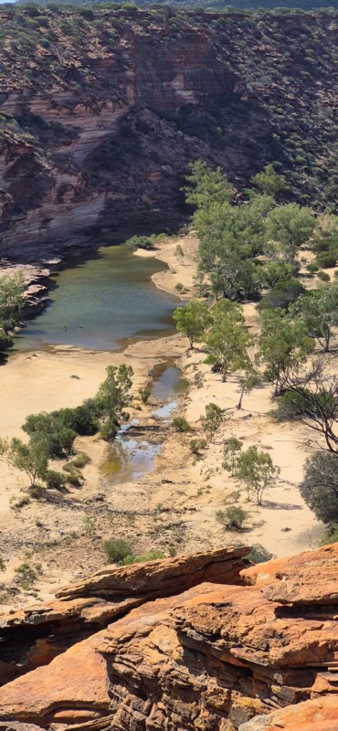
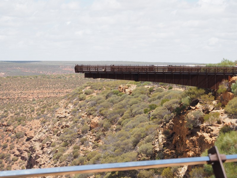
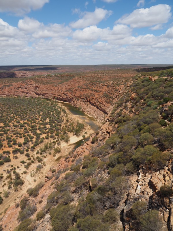
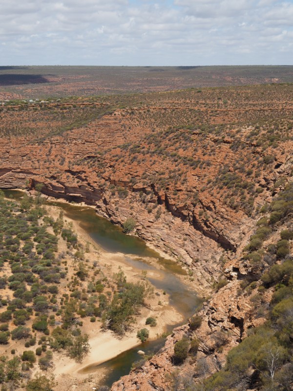
The Kalbarri Skywalk (Kaju Yatka) consists of twin skywalks, built 100-metres apart at the Inyaka Wookai Watju site (the West Loop), which project 25-metres and 17-metres beyond the gorge rim and sit more than 100-metres above the Murchison River.
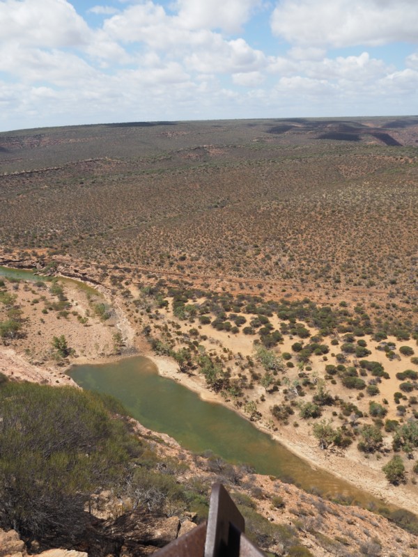
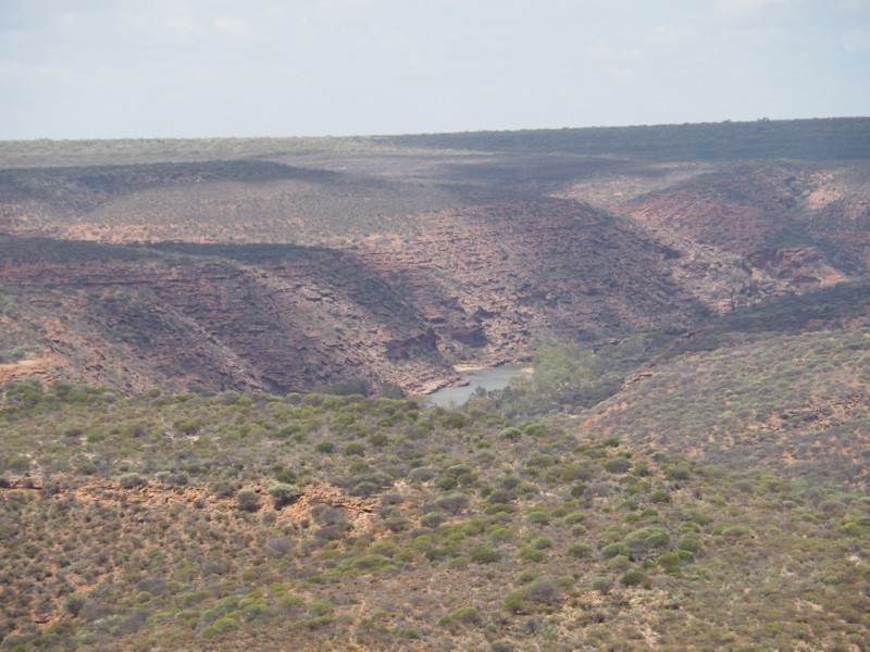
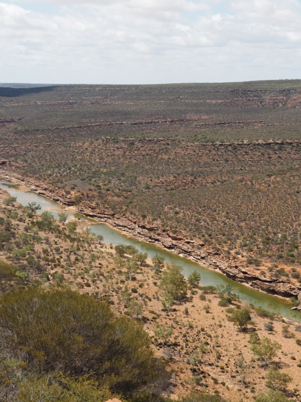
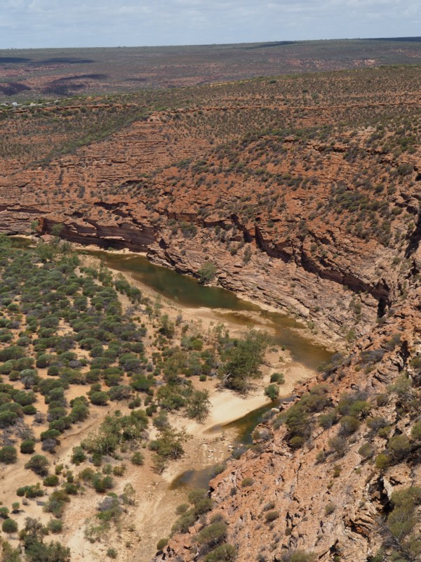
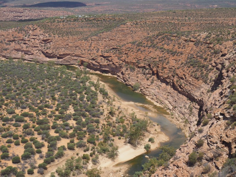
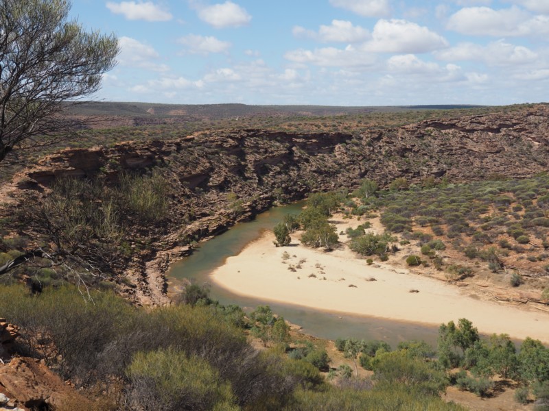
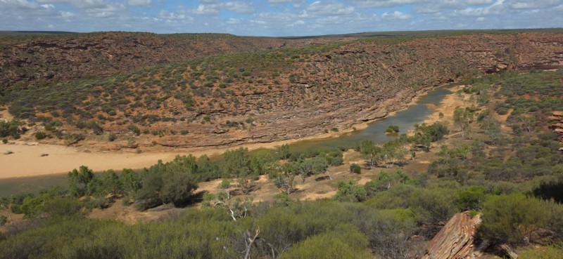
In addition to the skywalks, the precinct includes parking for cars, coaches and RVs/campervans, walk trails, interpretive signage, shade shelters, toilets and an eco-friendly kiosk.
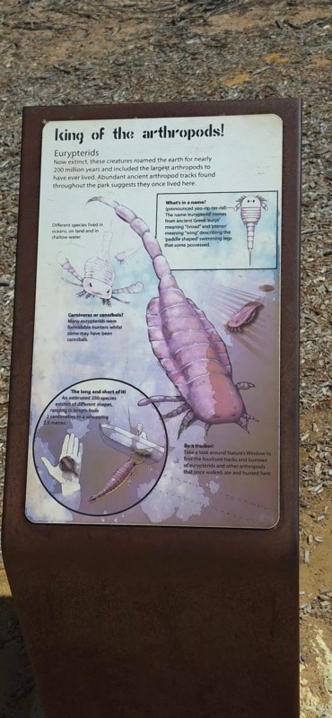
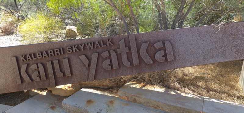
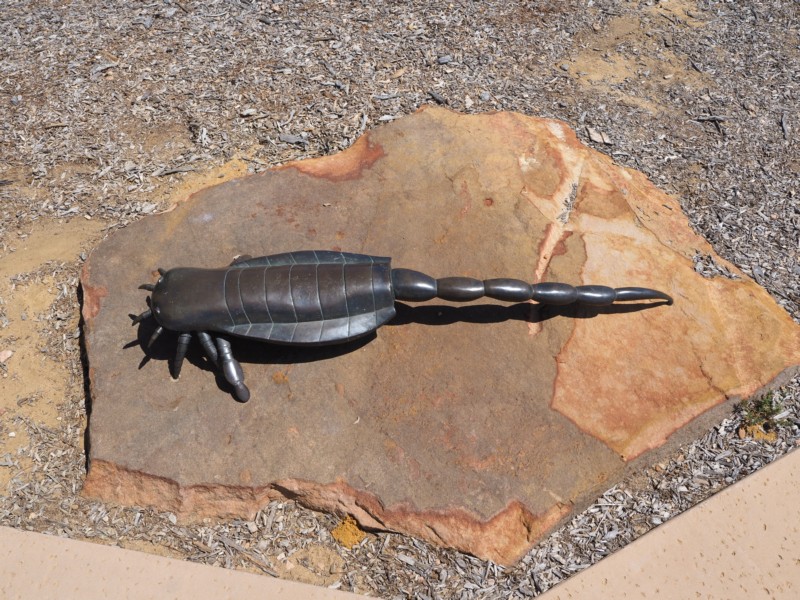
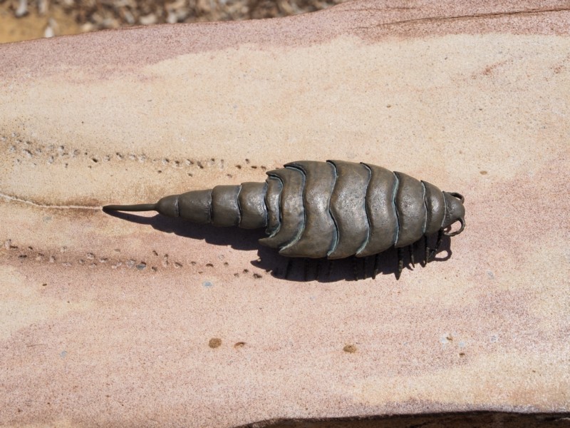
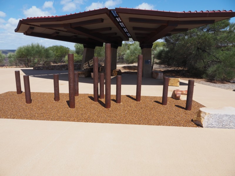
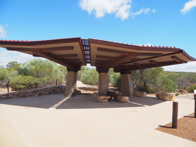
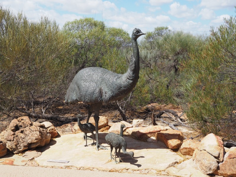
Kalbarri is part of the traditional lands of the Nanda people, in the Yamaji region of Western Australia. The Skywalk’s entry sign ‘Kaju Yatka’ is the Nanda words for ‘sky’ and ‘to walk’. Inspired by the region’s Aboriginal heritage and beauty, several local Indigenous artists have created interpretive artwork as an important part of the Skywalk experience, including the Beemarra serpent.
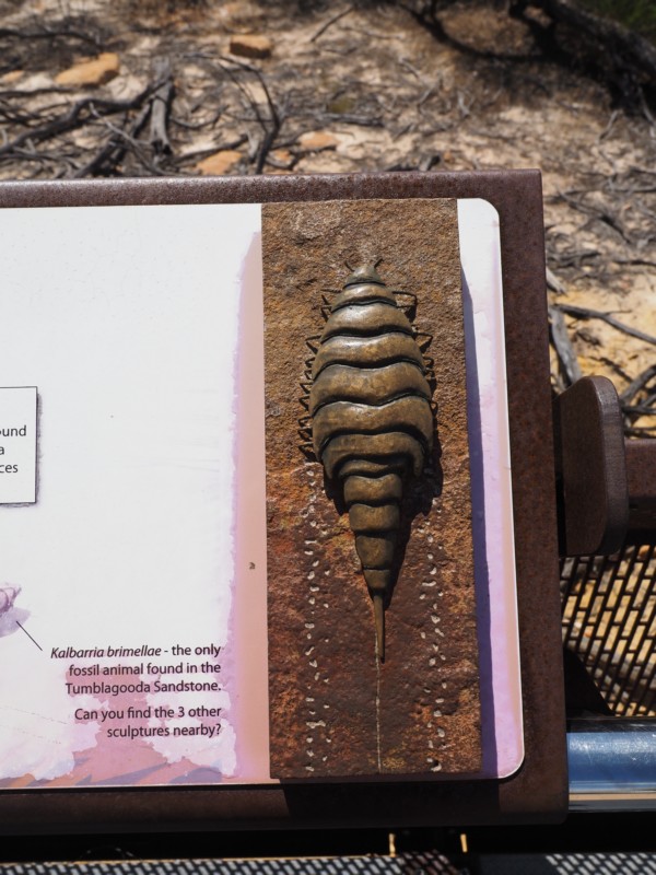
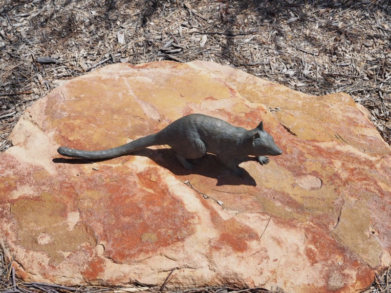
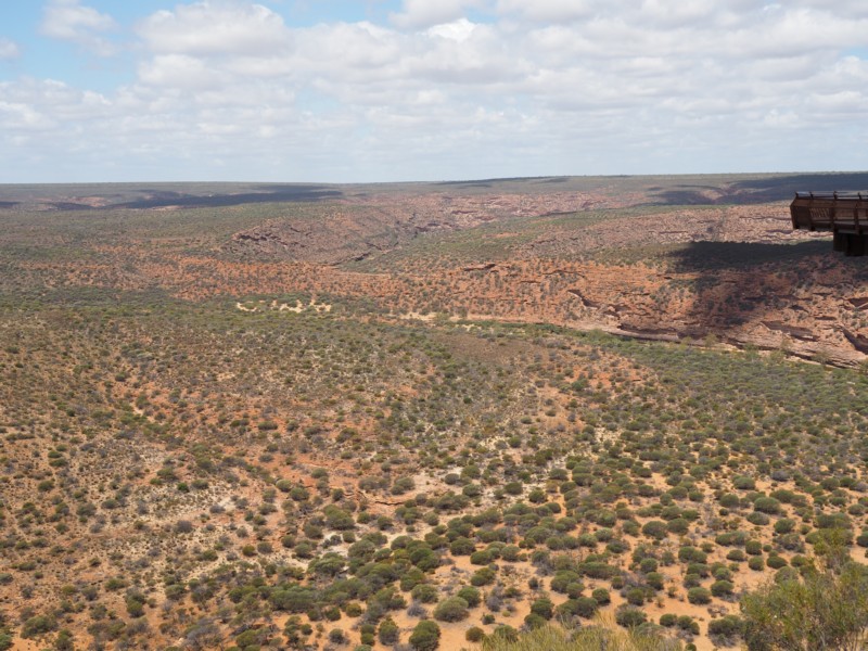
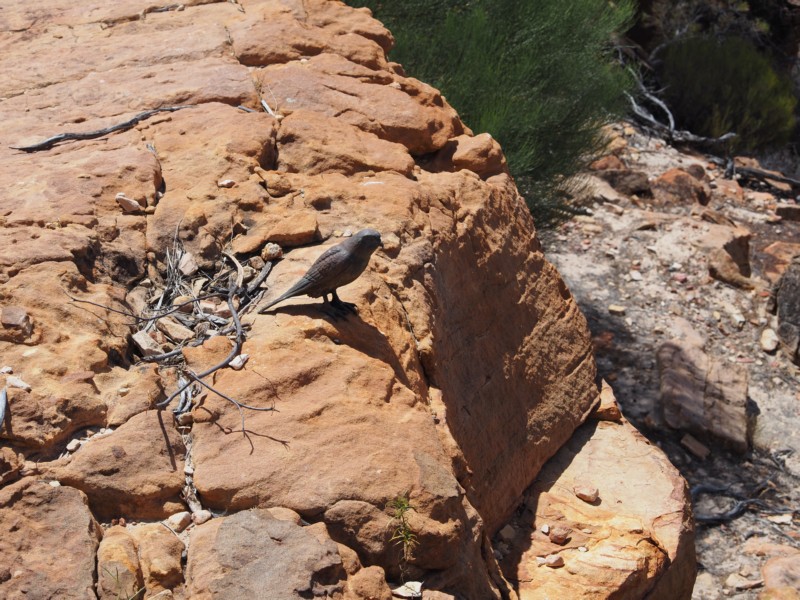
Central to the dreaming story of the Nanda people, the serpent is sandblasted into the path to guide visitors. Message sticks welded with Aboriginal art make a ‘forest’ near the entrance to the Skywalk, and interpretive signage sharing the Nanda people’s story and history is displayed in the shade shelter area.
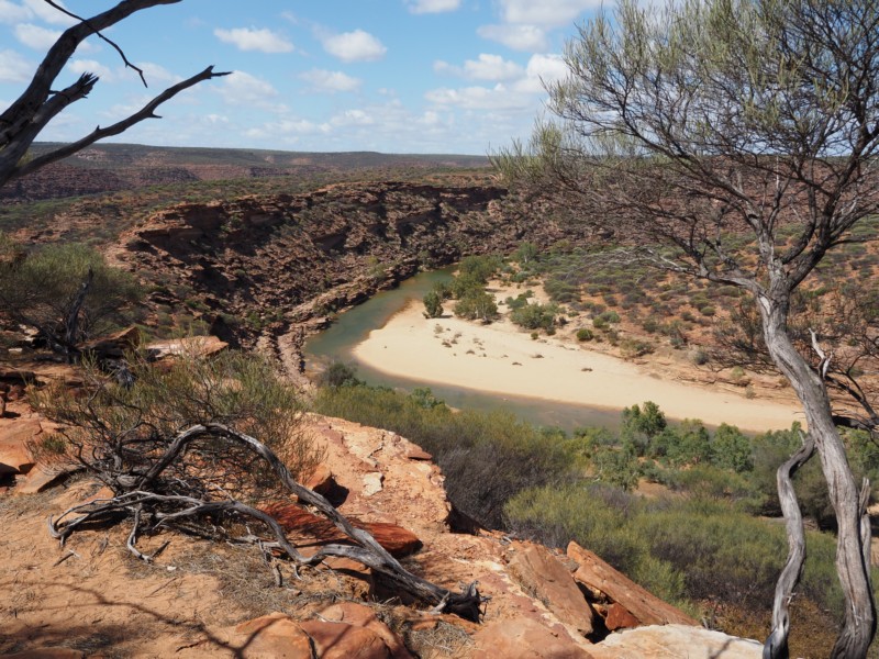
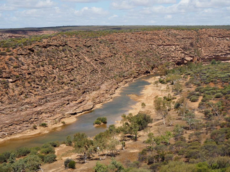
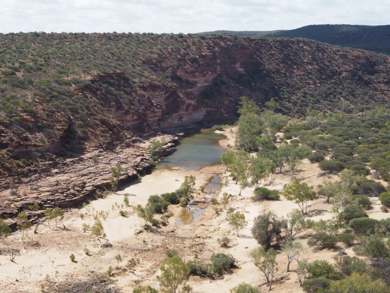
Murchison River
The Murchison River is the second longest river in Western Australia. It flows for about 820 km (510 mi)[2] from the southern edge of the Robinson Ranges to the Indian Ocean at Kalbarri.
The Murchison River basin covers an area of about 82,000 square kilometres (31,660 sq mi) in the Mid West region of Western Australia. It extends about 550 km (340 miles) inland from the Indian Ocean, onto the Yilgarn craton east of Meekatharra and north of Sandstone.[6] Rain generally falls in the upper basin during summer cyclones, so for much of the year the Murchison River does not flow, leaving a dry sandy river bed and intermittent permanent pools.